(scroll down for more pictures)
GGNRA
DIPSEA & STEEP RAVINE TRAILS
June 18, 2018
Home
|
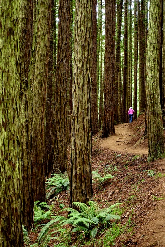
Hike Description: The Dipsea Trail dates back to 1904 when members of the Olympic Club raced to the newly opened Dipsea Inn on the Stinson Beach spit by what ever means possible. The Steep Ravine Tail takes off from the Pantoll Campground and ends near Hwy 1. Both combine to make a convenient roughly 4.5 mile loop with an elevation gain and loss of about 1100 feet. We parked at the Whitegate Ranch Trailhead. (Gps coordinates: 37.892139, -122.624366.) This lets you park free and avoids the crowds, plus lets you start climbing while still energized and the day still cool. We also took the Dipsea up and Steep Ravine down as we'd be in sunshine during the cool of the day. The first mile is through luxuriant undergrowth of ferns, mosses and Doug Firs among Redwoods and pines. Then it opens up to scrub coyote bush with views of the ocean - if you're lucky and the fog stays at bay. After a mile of open space you'll have reached 'Cardiac Hill' and if still upright will be done with the climb. There is water here and it seems to be a collection point for other hikers or sightseers. From here it levels out as you head north via the Old Mine Trail (unless you prefer dusty fire roads) to the Pantoll Campground and parking lot. At this junction the Steep Ravine trail starts and descends to Stinson, Hwy 1 or the Whitegate Trailhead parking lot depending on which split you take. Blooming Plants Not Photographed: Ferns Not Photographed:
|
|
|
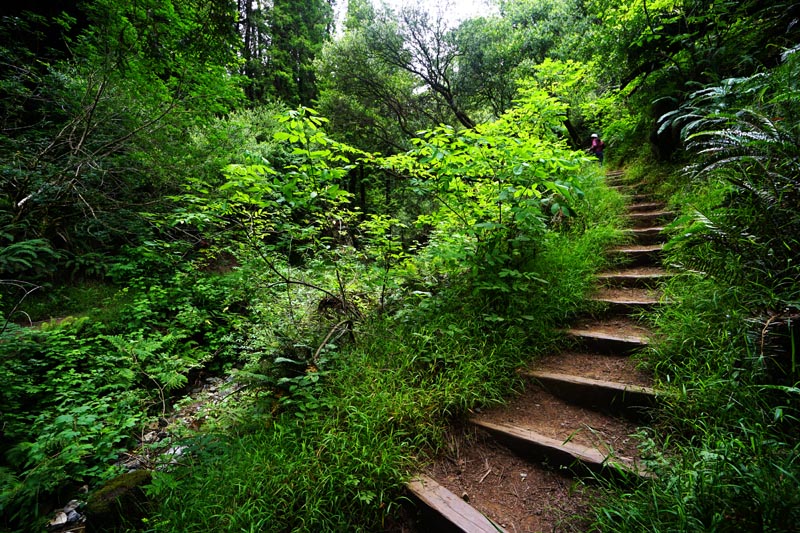
| This is the first in a series of
steps which makes for much easier hiking up sometimes slippery slopes.
(scroll down for more pictures) |
Some pictures can be enlarged. Click on.
 |
 |
|
|
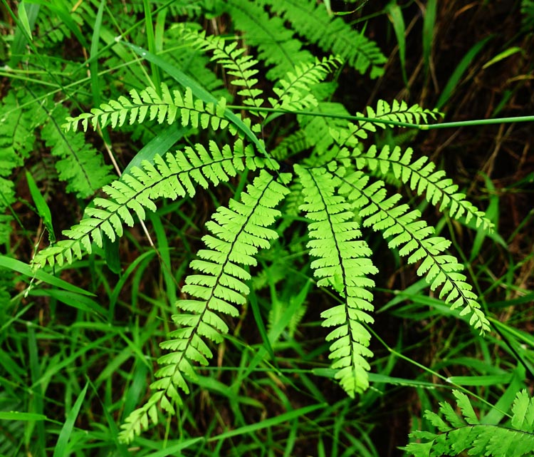
Five Finger Fern (Adiantum aleuticum): |
||
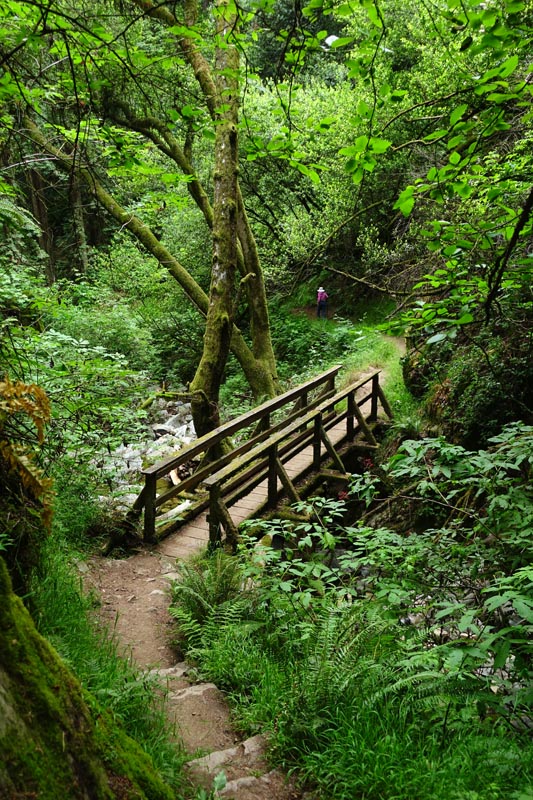
| One soon hits Webb Creek from the trailhead and then crosses the bridge to head up the Dipsea Trail. | Not commonly seen, this native fern is a close relative to the Maidenhair Fern. It likes shade & plentiful moisture. |
 |
 |
|
|
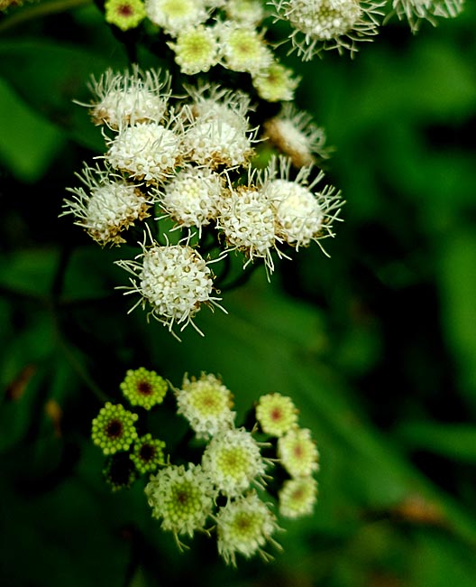
White Ageratum (Ageratina adenophora): |
||
| Originally from Mexico & Central America, the bush was about 4' tall. It is toxic to livestock & is said to have antibacterial properties for wounds. | About half way up, the trail enters deep redwoods. |
 |
 |
|
|
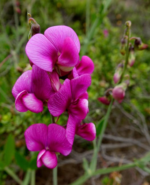
Sweet Pea (Lathyrus latifolius): |
||
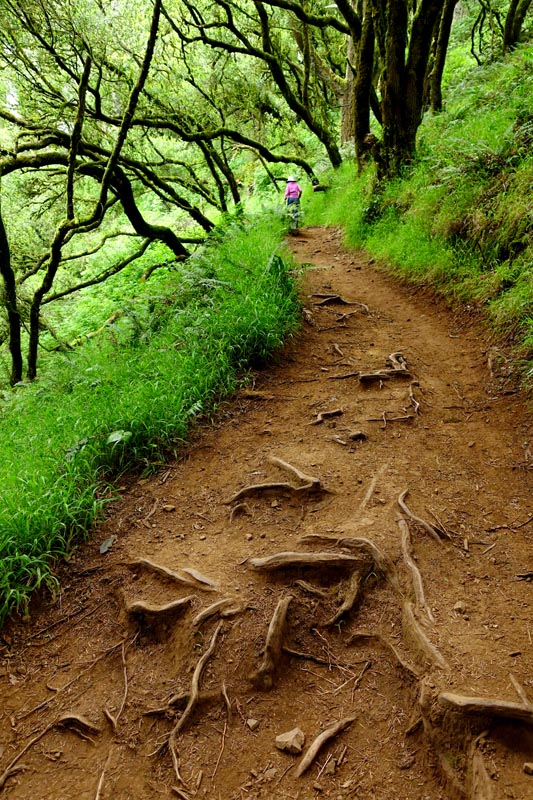
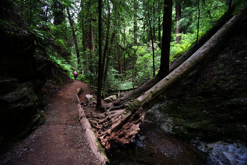
| Some of these roots are worn to a fine wood finish from years of foot traffic. | Probably a favorite in your Grandmas garden, this long lived perennial vine was prolific in the open sunny areas of the ridge. |
 |
 |
|
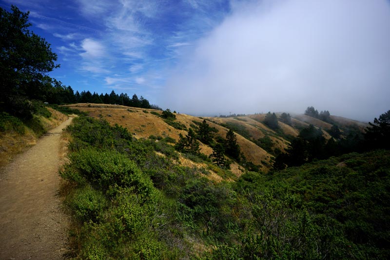
| Interesting little twists and turns are abundant on the trail. | About mid way the trail opens up for nice views of the hills and ocean, provided it's not socked in with fog. |
 |
 |
|
|
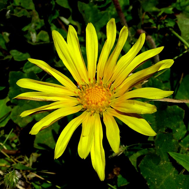
Cape Weed (Arctotheca calendula): |
||
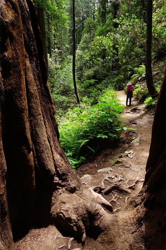
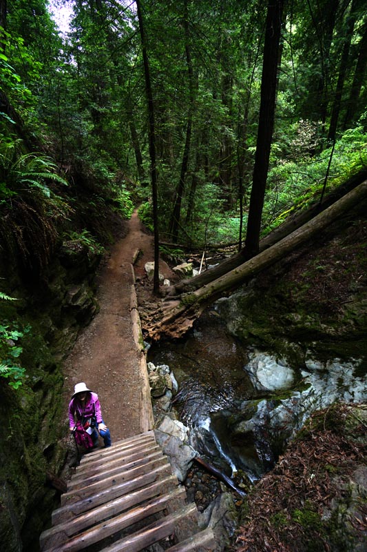
| Originally sold as a horticultural ground cover, this alien plant can be very invasive. The attractive flowers are about 2-1/2" across. | There are lots of interesting 'obstacles' on the way down the Steep Ravine, this being one of the better known. |
 |
 |
|
|
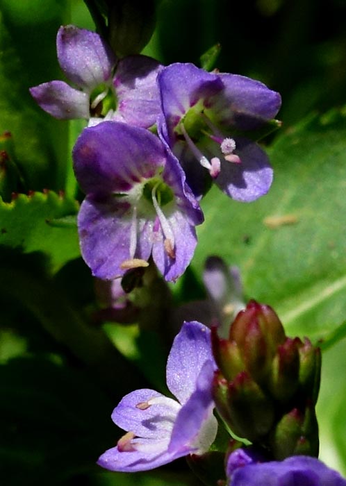
American Speedwell (Veronica americana): |
||
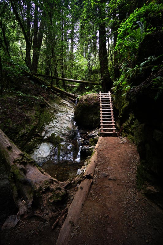
| Looking intimidating from above, the ladder is really only 15 or so feet high. | We found this perennial native growing near a stream. Each individual flower was only about 1/3" across. |
 |
 |
|
|
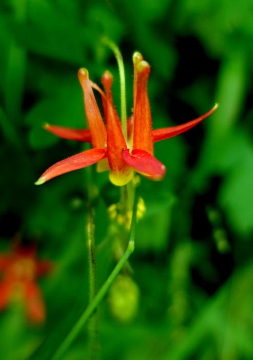
Columbine (Aquilegia formosa): |
||
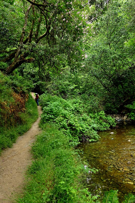
| From here the trail pretty much follows the creek through lush twists and turns. | Hummingbirds are attracted to this native perennial. It was growing in a shady moist area. |
 |
 |
|
|
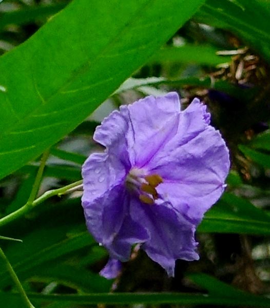
Tree Nightshade (Solanum laciniatum): |
||
| Near the end the trail crosses the creek a few times more before finally coming back to the Whitegate Trailhead. | Originally from Australia & New Zealand, this frost tender tree grew over 15' tall. Its’ large showy orange fruits are poisonous. |