SUGARLOAF RIDGE STATE PARK
PARK GUIDE
2019-06-14
Home page
Park Description:
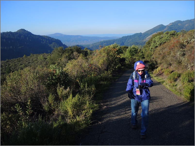
Sugarloaf Ridge State Park park lies on the east side of Sonoma County about
two miles northeast of the small town of Kenwood.
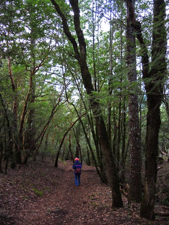
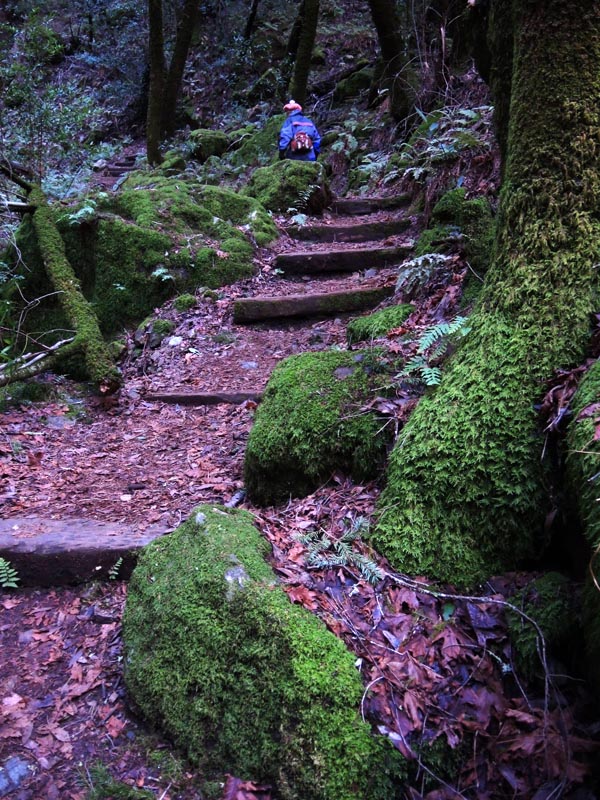
This 4000 acre parks highest peak is the 2700 foot Bald Mountain. It has
approximately 25 miles of trails and one campground, plus is host to the
Robert Ferguson Observatory. The park is home to a variety of animals such
as fox, coyote, bobcat, etc, and hosts mostly oak woodland vegetation
including Doug Firs, Madrone, Buckeye, Manzanita etc. It was admitted into
the California park system in 1964.
Directions: Sugarloaf is located about 4 miles
East of Santa Rosa.
Park and Trailmap:
here
Location map:
here
Cost: $5 / car for day use.
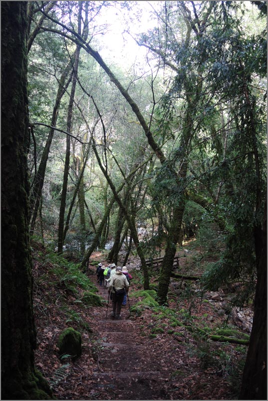
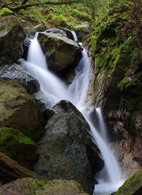
Trail Links:
Canyon Trail
May 30, 2019
|